Tree-canopy walking routes
Walk Under Trees
Find a walk with less open sun and more green overhead.
For iPhone. Built for hot days.
Why trees
A building casts a shadow somewhere. A tree makes shade where you walk.
Walk Under Trees measures canopy cover directly over walkable streets, then finds routes that spend more of your walk beneath it.
Pick a time. Find the green way.
A useful walk in three taps.
- 01
- Choose how long.Start where you are, pick another place, or look within a short drive.
- 02
- Compare real routes.See distance, elevation, and canopy coverage before you leave.
- 03
- Walk with guidance.Follow the route with spoken turns and live progress from your pocket.
Made for walking
Shade is the map.
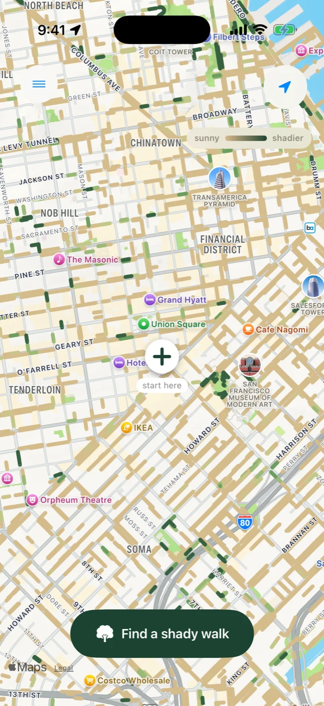
Covered walkable streets are scored from sunny to shady. The route finder weighs that canopy alongside time, distance, hills, crossings, and walkability—so a shadier route still has to be a good walk.
Loops or one-wayCome back where you started or walk somewhere specific.
Across the contiguous U.S.Download local map data, then route on your iPhone.
Your walks stay yoursNo advertising profile. Location trails stay on your devices unless you choose to share diagnostics with support.